ONLINE UNDERGROUND GEOLOGICAL MAPPING SYSTEM
The new Blastatistics module for underground will be available soon:
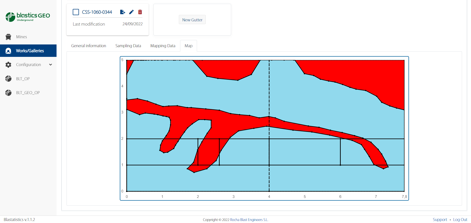
BlasticsGEO Underground includes the same functionalities of BlasticsGEO Surface but adapted to underground mining. Automated sampling, directly digitized mapping in the field. Among other functions and advantages it has:
- Effective and accurate data collection for both grade control sampling and geological mapping
- Automated data files and reports with direct export (compatible with software such as AcQuire, Minesight, Leapfrog, ArcGIS, AutoCAD)
- All your information available, exportable and organized by mine, area, level, type of work and time periods.
All in one platform, your information from Blastics Surface, BlasticsGEO Surface and BlasticsGEO Underground!
More details coming soon